|
COMETS EARTH JUPITER KUIPER BELT MARS MERCURY METEORITES NEPTUNE OORT CLOUD PLUTO SATURN SOLAR SYSTEM SPACE SUN URANUS VENUS ORDER PRINTS
PHOTO CATEGORIES SCIENCEVIEWS AMERICAN INDIAN AMPHIBIANS BIRDS BUGS FINE ART FOSSILS THE ISLANDS HISTORICAL PHOTOS MAMMALS OTHER PARKS PLANTS RELIGIOUS REPTILES SCIENCEVIEWS PRINTS
|
Related Document
Download Options
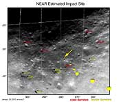
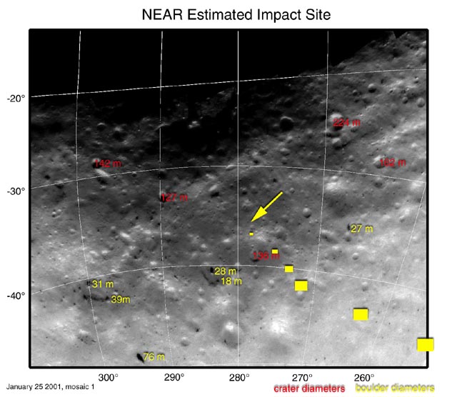
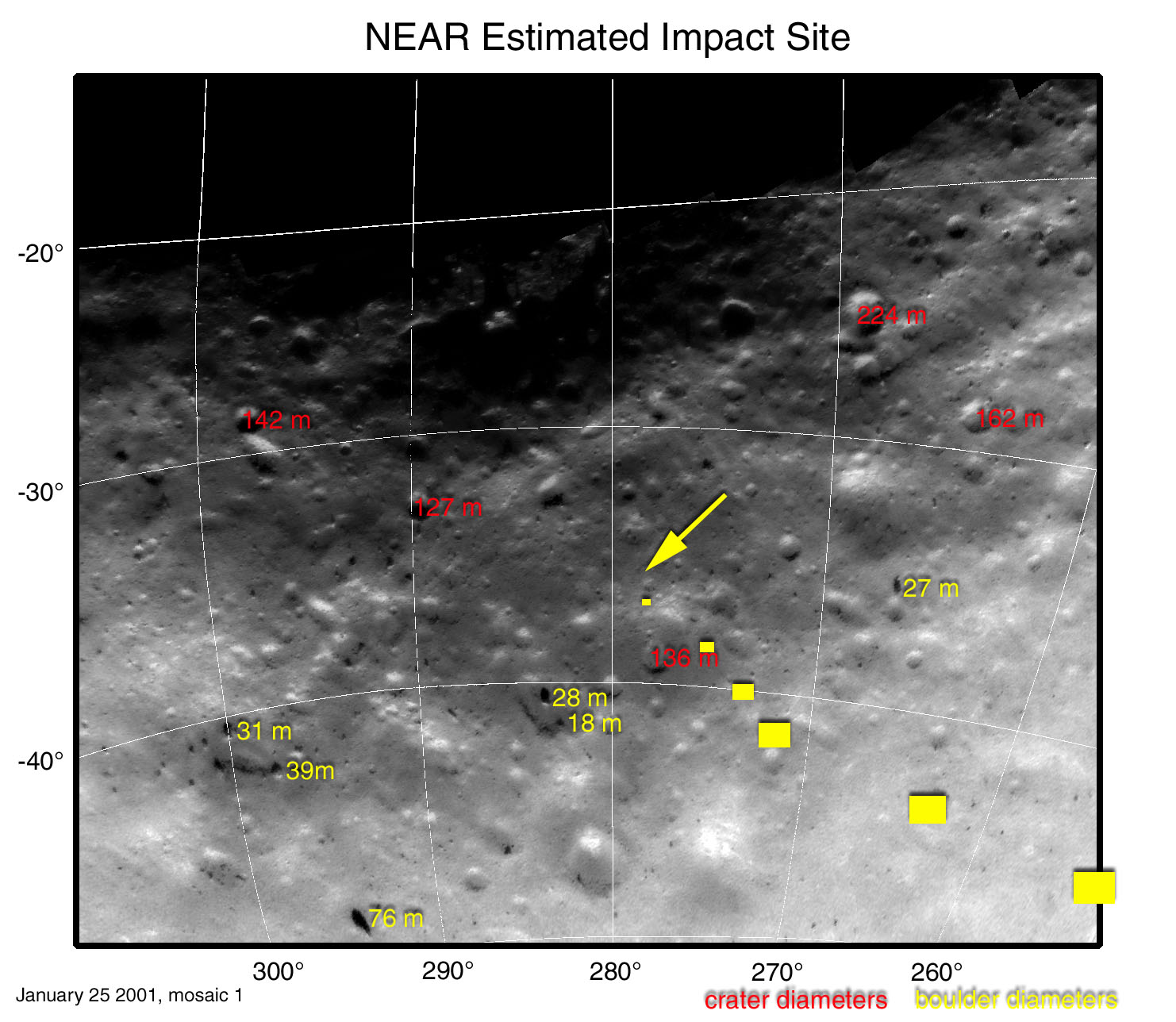
This map projection of NEAR Shoemaker images shows locations and sizes of landmarks surrounding the spacecraft's planned landing site. Diameters of craters are shown in red, and diameters of boulders are shown in yellow. Diameters are given in units of meters (1 meter is about 3.3 feet). Coordinates along the left side of the map are degrees south latitude and coordinates along the bottom are degrees west longitude. The six yellow "footprint" boxes represent approximate image size at 500,1,000, 1,500, 2,000, 2,500 and 3,000 meters above the surface during descent. The spacecraft will take pictures continuously between each spot. The arrow marks the estimated touchdown site. Mosaic made from images taken January 25, 2001, from an altitude of about 25 kilometers (16 miles). |