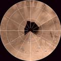
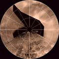
Ganymede Map Images
This map of Ganymede was constructed using the Voyager Basemap Mosaics created by the USGS and Galileo images taken on orbits E6 and C9. The Voyager spacecrafts were not able to take high resolution pictures of two regions centered around ~75 and ~265 degrees longitude. These "Voyager Gaps" were filled by the Galileo spaceraft on orbits E6 and C9. The scale is 20 pixels/degree at the equator for the Mercator maps.
Click on the map below to obtain a high-resolution image quadrangle of that region.
|
|---|


 Jupiter
 Ganymede