|
COMETS EARTH JUPITER KUIPER BELT MARS MERCURY METEORITES NEPTUNE OORT CLOUD PLUTO SATURN SOLAR SYSTEM SPACE SUN URANUS VENUS ORDER PRINTS
PHOTO CATEGORIES SCIENCEVIEWS AMERICAN INDIAN AMPHIBIANS BIRDS BUGS FINE ART FOSSILS THE ISLANDS HISTORICAL PHOTOS MAMMALS OTHER PARKS PLANTS RELIGIOUS REPTILES SCIENCEVIEWS PRINTS
|
Related Document
Download Options
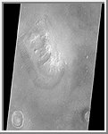
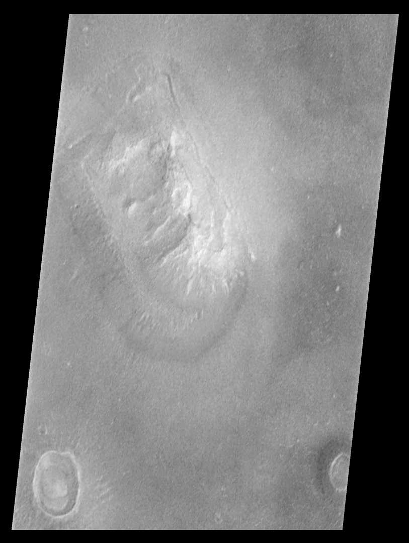
Shortly after midnight Sunday morning (5 April 1998 12:39 AM PST), the Mars Orbiter Camera (MOC) on the Mars Global Surveyor (MGS) spacecraft successfully acquired a high resolution image of the Face on Mars feature in the Cydonia region. The image was transmitted to Earth on Sunday, and retrieved from the mission computer data base Monday morning (6 April 1998). The picture was acquired 375 seconds after the spacecraft's 220th close approach to Mars. At that time, the 'Face', located at approximately 40.8° N, 9.6° W, was 275 miles (444 km) from the spacecraft. The 'morning' sun was 25° above the horizon. The picture has a resolution of 14.1 feet (4.3 meters) per pixel, making it ten times higher resolution than the best previous image of the feature, which was taken by the Viking Mission in the mid-1970's. The full image covers an area 2.7 miles (4.4 km) wide and 25.7 miles (41.5 km) long. ProcessingImage processing has been applied to the images in order to improve the visibility of features. This processing included the following steps:
|