|
COMETS EARTH JUPITER KUIPER BELT MARS MERCURY METEORITES NEPTUNE OORT CLOUD PLUTO SATURN SOLAR SYSTEM SPACE SUN URANUS VENUS ORDER PRINTS
PHOTO CATEGORIES SCIENCEVIEWS AMERICAN INDIAN AMPHIBIANS BIRDS BUGS FINE ART FOSSILS THE ISLANDS HISTORICAL PHOTOS MAMMALS OTHER PARKS PLANTS RELIGIOUS REPTILES SCIENCEVIEWS PRINTS
|
Related Document
Download Options
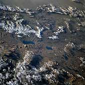
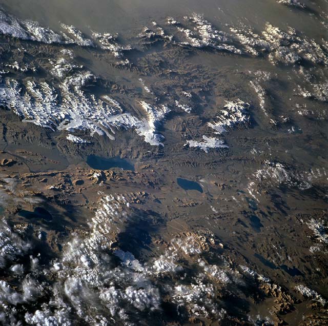
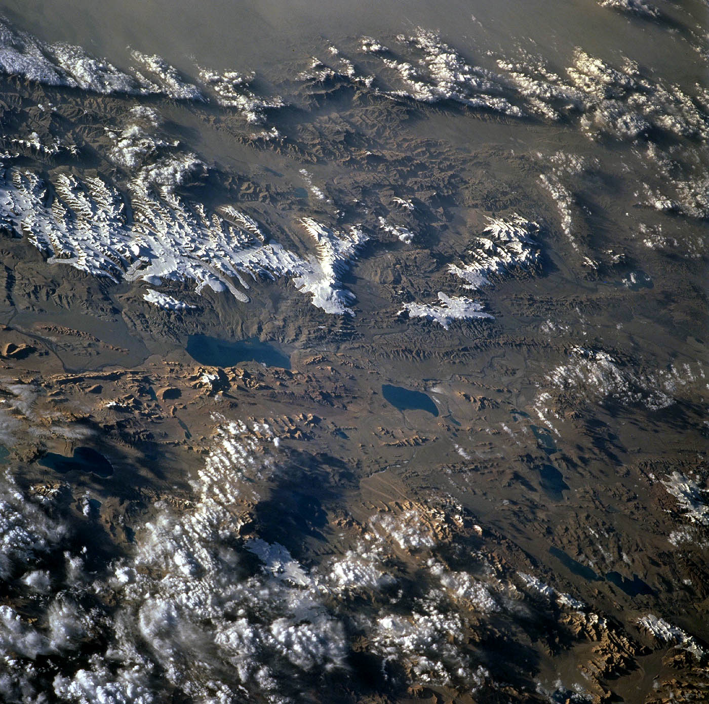
The Tibet plateau is the largest and highest elevated region in the world. The plateau is 1,200 kilometers (746 miles) from east to west and 900 kilometers (560 miles) north to south, with a mean elevation of about 4900 meters (16,000 feet). The lowlands and valleys range in elevation from 3700 meters to 4600 meters (12,000 feet to 15,000 feet). Because the plateau rises above so much of the atmosphere, photographs are typically brilliantly crisp and clear. A plethora of geological features are visible in any frame. This picture shows the northwest corner of the plateau near the point where the ground falls away to the Tarim Basin. The impressive snow-capped mountain at top right with well-developed valley glaciers is Muztag Ulu, which has an elevation of 7,282 meters (23,892 feet). The plateau was elevated as a consequence of the collision between India and Asia, which resulted in extensive shortening by overthrusting and folding. A second important consequence of the collision was major strike slip faulting, facilitating the tectonic "escape" of China like a squeezed melon seed. The linear valley with two lakes may be the site of a strike slip fault. At the lower right corner, two light-toned outcrops are also apparently displaced some 300 kilometers (186 miles) by the left lateral fault. The blue lake at center shows extensive terraces around its northern shores. During glacial times, lake levels on the plateau stood as much as 300 meters (984 feet) higher than at the present day. Since the end of the Ice Age, the climate has become increasingly arid and lakes have shrunk. The bounding Himalayan and Kun Lun mountain ranges act as effective barriers to moisture-laden winds. (Courtesy LPI/NASA. Picture 41G-31-043) |