|
COMETS EARTH JUPITER KUIPER BELT MARS MERCURY METEORITES NEPTUNE OORT CLOUD PLUTO SATURN SOLAR SYSTEM SPACE SUN URANUS VENUS ORDER PRINTS
PHOTO CATEGORIES SCIENCEVIEWS AMERICAN INDIAN AMPHIBIANS BIRDS BUGS FINE ART FOSSILS THE ISLANDS HISTORICAL PHOTOS MAMMALS OTHER PARKS PLANTS RELIGIOUS REPTILES SCIENCEVIEWS PRINTS
|
Related Documents
Download Options
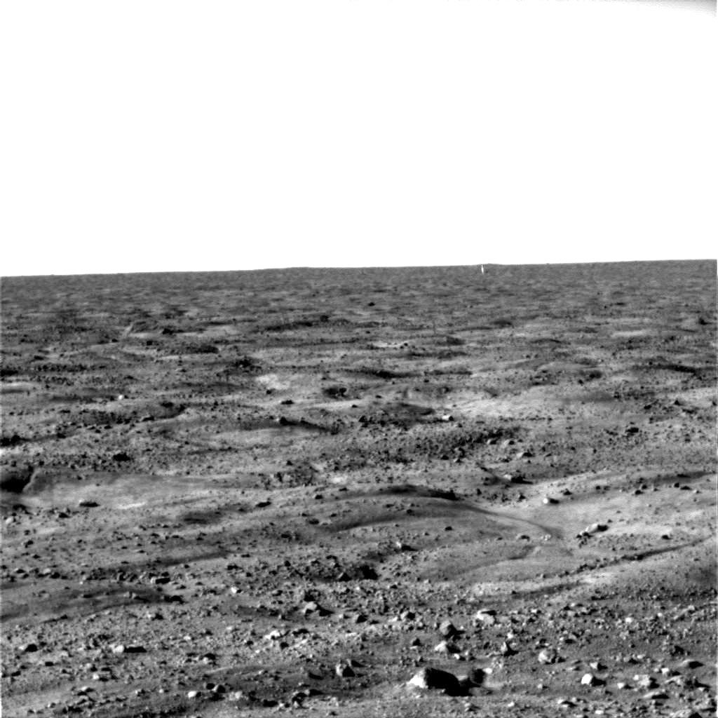
This image, one of the first captured by NASA's Phoenix Mars Lander, shows the vast plains of the northern polar region of Mars. The flat landscape is strewn with tiny pebbles and shows polygonal cracking, a pattern seen widely in Martian high latitudes and also observed in permafrost terrains on Earth. The polygonal cracking is believed to have resulted from seasonal freezing and thawing of surface ice. Phoenix touched down on the Red Planet at 4:53 p.m. Pacific Time (7:53 Eastern Time), May 25, 2008, in an arctic region called Vastitas Borealis, at 68 degrees north latitude, 234 degrees east longitude. This image was taken shortly after landing by the spacecraft's Surface Stereo Imager. |